Tuesday July 18th, 2023
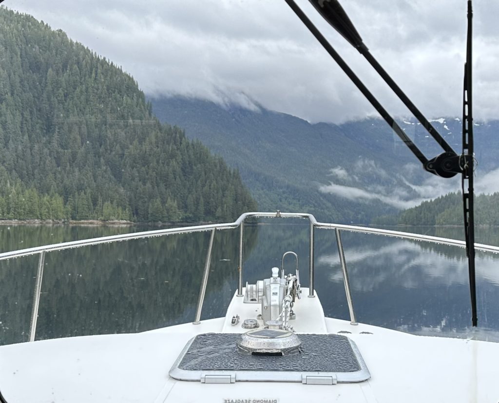
The rain and fog has finally caught up with us. This morning we awoke to heavy rain and mist in Baker Inlet. We timed the rapids and the rips tides to depart at 8:00 am for slack tide. We were close but the tides were still running pretty strong when we arrived. The issue was a technical one. Our Application, Navonics uses Alaska time for tides in this area which is an hour earlier than Pacific time, even though the iPad was correct, but an hour later. We discovered this real-time as we went through the narrow. In the future we will know that all of inlets around Baker use the Wrangell narrows Alaska, tide charts as a reference point for Grenville Channel. Go figure.(Marlene saw the note on the Navonics tide charts but didn’t know for sure what is meant in terms of timing).
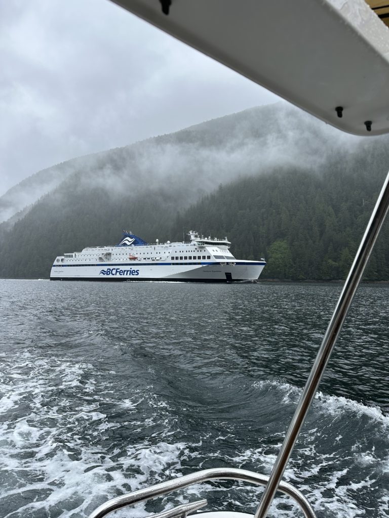
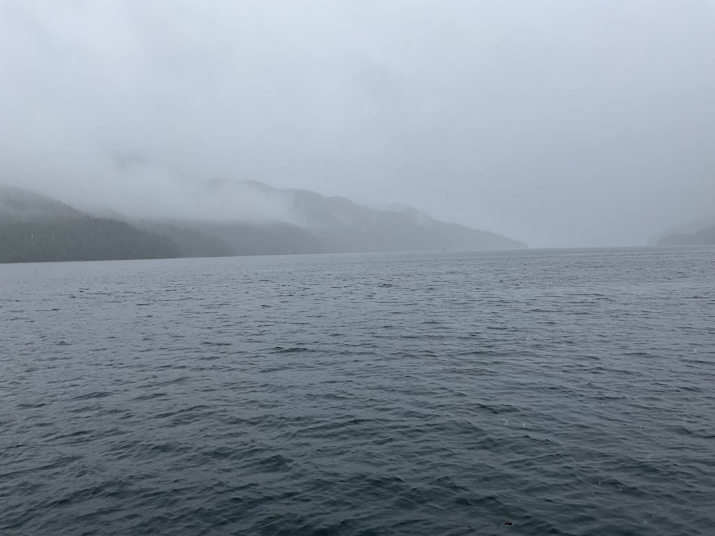
It was a rainy, foggy morning as we begin our 6 hour cruise. Our first “entertainment” of the morning was seeing a large vessel on our stern approaching at a high speed. When I clicked on the image on my chart plotter I discovered the approaching vessel, “Northern Expedition,” was a large BC ferry. I hailed the captain of the boat on channel 16 (the distress channel) and said I was going to 13 (which is the ferry and large vessel channel). When the captain came on I told him we saw his boat approaching our stern and that we would pull to starboard (the right), hold course, and let him pass on our port (left). By doing this we had plenty of time to react to his wake—unlike the Carnival Cruise ship.
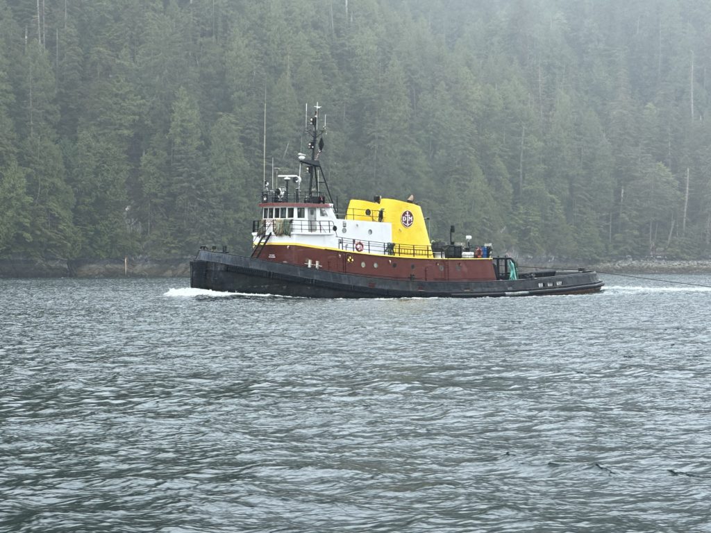
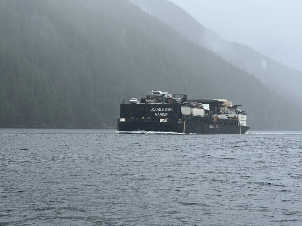
We continued to poke along (unfortunately we were bucking two knots) until our second event of the morning. A tugboat with a large load. This time around we had plenty of room in the channel to stay far enough away such that his wake was a non-event.
As we approached our anchorage we received some bad news regarding our float plan. Tomorrow our intention is to go from Coughlan to Windy Bay, anchor for the night, then continue on the next day from Windy Bay to ShearWater, then on from ShearWater to Fury Cove to prepare for our intended crossing of Cape Caution on Saturday the 22nd. Unfortunately the update from our meteorologist, Chris Parker was not good news. Saturday no longer looks like a calm day; in fact it looks like there may be 4 foot seas or larger that day and it doesn’t look any better Sunday or Monday. What this translates into is halting our plans until a weather window opens, hopefully by mid next week. Based on this new update we will probably hang out in ShearWater for a few days where there are restaurants, food stores, hikes, etc. It’s a disappointment but rule number one is: never challenge Mother Nature. It will NOT go well.
For now it’s time to hunker down, wait for the fog to lift and have a scotch (yes yes, I will wait until after 5:00 pm).
patience is a virtue and safety first. Great you can get all that weather information. Like us at the end of a trip you probably would like to have the horse in the barn; but what is a few days in the big picture! and overall I have been amazed at your weather.
Watched the Race2Alaska video last night. Amazing trip, all non-motorised, including a paddle board! 14 days: Port Townsend to Ketchican!